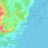
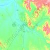
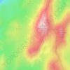
Topografische kaart Kalang
Klik op de kaart om de hoogte weer te geven.
Over deze kaart

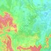
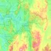
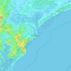
Naam: Topografische kaart Kalang, hoogte, reliëf.
Locatie: Kalang, New South Wales, 2454, Australia (-30.53958 152.54847 -30.45051 152.87242)
Gemiddelde hoogte: 219 m
Minimale hoogte: 1 m
Maximale hoogte: 1.011 m
Andere topografische kaarten
Klik op een kaart om zijn topografie, zijn hoogte en zijn reliëf te bekijken.
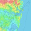
Sydney
Phillip had been given no instructions for urban development, but in July 1788 submitted a plan for the new town at Sydney Cove. It included a wide central avenue, a permanent Government House, law courts, hospital and other public buildings, but no provision for warehouses, shops, or other commercial…
Gemiddelde hoogte: 32 m



Mount Kosciuszko
Mount Kosciuszko is the highest summit in mainland Australia. Until 1977 it was possible to drive from Charlotte Pass to within a few metres of the summit, but in 1977 the road was closed to public motor vehicle access due to environmental concerns. The road is open from Charlotte Pass for walkers and cyclists…
Gemiddelde hoogte: 2.035 m


















Gaanha-bula–Mount Canobolas
With an elevation of 1,390 metres (4,560 ft) above sea level, Mount Canobolas, an extinct volcano, is the highest mountain in the region. Situated 13 kilometres (8.1 mi) southwest of the city of Orange, it is about 250 kilometres (155 mi) west of Sydney.
Gemiddelde hoogte: 1.186 m






Australian Alps
The Australian Alps are a mountain range in southeast Australia. It comprises an interim Australian bioregion, and is the highest mountain range in Australia. The range straddles the borders of eastern Victoria, southeastern New South Wales, and the Australian Capital Territory. It contains Australia's only…
Gemiddelde hoogte: 2.037 m