
Topografische kaart Parker City
Interactieve kaart
Klik op de kaart om de hoogte weer te geven.
Over deze kaart
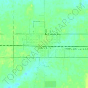
Naam: Topografische kaart Parker City, hoogte, reliëf.
Locatie: Parker City, Randolph County, Indiana, 47368, United States (40.18327 -85.21266 40.19704 -85.19199)
Gemiddelde hoogte: 312 m
Minimale hoogte: 304 m
Maximale hoogte: 319 m
According to the 2010 census, Parker City has a total area of 0.57 square miles (1.48 km2), all land. It is located at an elevation of 1025 feet.
Andere topografische kaarten
Klik op een kaart om zijn topografie, zijn hoogte en zijn reliëf te bekijken.
Union City
United States > Indiana > Randolph County
Union City, Randolph County, Indiana, United States
Gemiddelde hoogte: 333 m
Windsor
United States > Indiana > Randolph County
Windsor, Randolph County, Indiana, 47368, United States
Gemiddelde hoogte: 312 m
Farmland
United States > Indiana > Randolph County
Farmland, Randolph County, Indiana, United States
Gemiddelde hoogte: 318 m
Lynn
United States > Indiana > Randolph County
Lynn, Randolph County, Indiana, United States
Gemiddelde hoogte: 356 m
Modoc
United States > Indiana > Randolph County
Modoc, Randolph County, Indiana, United States
Gemiddelde hoogte: 355 m
Winchester
United States > Indiana > Randolph County
Winchester, Randolph County, Indiana, 47494, United States
Gemiddelde hoogte: 335 m