Topografische kaart Souris
Klik op de kaart om de hoogte weer te geven.
Over deze kaart
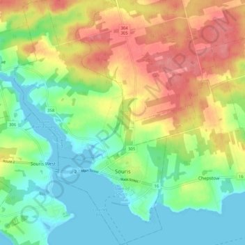
Naam: Topografische kaart Souris, hoogte, reliëf.
Locatie: Souris, Kings County, Prince Edward Island, C0A 2B0, Canada (46.33544 -62.29540 46.40542 -62.22013)
Gemiddelde hoogte: 33 m
Minimale hoogte: -3 m
Maximale hoogte: 79 m
Andere topografische kaarten
Klik op een kaart om zijn topografie, zijn hoogte en zijn reliëf te bekijken.

Prince Edward Island National Park
Canada > Prince Edward Island > Kings County > Greenwich
Gemiddelde hoogte: 2 m