
Topografische kaart Fairhope
Interactieve kaart
Klik op de kaart om de hoogte weer te geven.
Over deze kaart
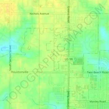
Naam: Topografische kaart Fairhope, hoogte, reliëf.
Locatie: Fairhope, Baldwin County, Alabama, United States (30.50226 -87.89254 30.51012 -87.88741)
Gemiddelde hoogte: 35 m
Minimale hoogte: 21 m
Maximale hoogte: 45 m
According to the U.S. Census Bureau, the city has a total area of 12.0 square miles (31.1 km2), of which 0.019 square mile (0.05 km2), or 0.16%, is water. Its elevation ranges from sea level at the bay to 122 feet (37 m) in the city center.
Andere topografische kaarten
Klik op een kaart om zijn topografie, zijn hoogte en zijn reliëf te bekijken.
Fairhope
United States > Alabama > Baldwin County > Fairhope
Fairhope, Baldwin County, Alabama, United States
Gemiddelde hoogte: 35 m