
Topografische kaart Fairhope
Interactieve kaart
Klik op de kaart om de hoogte weer te geven.
Fairhope
According to the U.S. Census Bureau, the city has a total area of 12.0 square miles (31.1 km2), of which 0.019 square mile (0.05 km2), or 0.16%, is water. Its elevation ranges from sea level at the bay to 122 feet (37 m) in the city center.
Over deze kaart
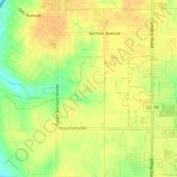
Naam: Topografische kaart Fairhope, hoogte, reliëf.
Locatie: Fairhope, Baldwin County, Alabama, United States (30.50743 -87.89792 30.50830 -87.89704)
Gemiddelde hoogte: 35 m
Minimale hoogte: 13 m
Maximale hoogte: 45 m