
Topografische kaart Carter Bay
Interactieve kaart
Klik op de kaart om de hoogte weer te geven.
Over deze kaart
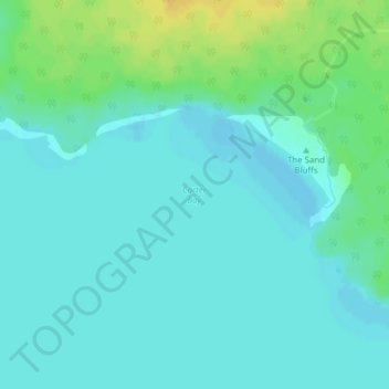
Naam: Topografische kaart Carter Bay, hoogte, reliëf.
Gemiddelde hoogte: 179 m
Minimale hoogte: 172 m
Maximale hoogte: 197 m
Andere topografische kaarten
Klik op een kaart om zijn topografie, zijn hoogte en zijn reliëf te bekijken.
Central Manitoulin
Canada > Ontario > Central Manitoulin
Central Manitoulin, Manitoulin District, Ontario, Canada
Gemiddelde hoogte: 196 m