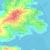
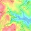
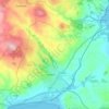
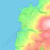
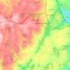
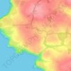
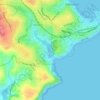
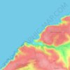
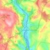
Topografische kaart Bude
Klik op de kaart om de hoogte weer te geven.
Bude
Its earlier importance was as a harbour, and then a source of sea sand useful for improving the inland soil. This was transported on the Bude Canal. The Victorians favoured it as a seaside resort. With new rail links, it became a popular seaside destination in the 20th century. Bradshaw's Guide of 1866, Section 2, described Bude as: "a small port and picturesque village in the north-eastern extremity of Cornwall". It described the town as having the dignity of a fashionable marine resort with excellent facilities for bathers. The harbour bed consists of fine bright yellow sand consisting of small shells. "The sea view is of a striking, bold and sublime description – the rocks rising on every side to lofty broken elevations". It also describes Bude as a romantic retreat.
Over deze kaart

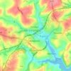
Naam: Topografische kaart Bude, hoogte, reliëf.
Locatie: Bude, Cornwall, England, EX23 8BD, United Kingdom (50.78905 -4.58473 50.86905 -4.50473)
Gemiddelde hoogte: 41 m
Minimale hoogte: 0 m
Maximale hoogte: 181 m
Andere topografische kaarten
Klik op een kaart om zijn topografie, zijn hoogte en zijn reliëf te bekijken.




St. John
United Kingdom > England > Cornwall
A few hundred metres north of St John village is an area of high ground called Vanderbands, the site of an Iron Age castle mentioned by John Norden (an English topographer who wrote a series of county histories) in his description of Cornwall published in 1728.
Gemiddelde hoogte: 53 m















St. Columb Major
United Kingdom > England > Cornwall
St Columb occupies a plateau at about 300 feet (91 m) elevation. The north part of the town (known as 'Bridge') descends into the Vale of Lanherne, having a minimum elevation of approximately 165 feet (50 m). It was originally a linear settlement built on the main road running north-east to south-west, but…
Gemiddelde hoogte: 110 m