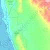
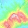
Topografische kaart Canning Dam
Klik op de kaart om de hoogte weer te geven.
Over deze kaart

Naam: Topografische kaart Canning Dam, hoogte, reliëf.
Gemiddelde hoogte: 213 m
Minimale hoogte: 129 m
Maximale hoogte: 349 m
Andere topografische kaarten
Klik op een kaart om zijn topografie, zijn hoogte en zijn reliëf te bekijken.
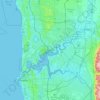
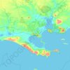
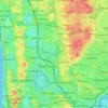
Perth
Perth, the capital of Western Australia, is situated on the Swan Coastal Plain, a flat expanse of sandy soil nestled between the Indian Ocean to the west and the Darling Scarp to the east. The Darling Scarp, also known as the Darling Range, is a low escarpment that extends north–south, marking a distinct…
Gemiddelde hoogte: 26 m

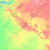













Katanning
Katanning railway station has an elevation of 1,024 feet (312 m) above sea level and a rail distance of 225 miles (362 km) from Perth.
Gemiddelde hoogte: 323 m












Bluff Knoll
Due to its elevation, Bluff Knoll and the surrounding peaks of the Stirling Ranges are some of only a few places to experience regular snowfalls in Western Australia. When snow is forecast by the Bureau of Meteorology it attracts hikers from all over the southwest region to experience it.
Gemiddelde hoogte: 663 m