
Topografische kaart Makuleke
Interactieve kaart
Klik op de kaart om de hoogte weer te geven.
Over deze kaart
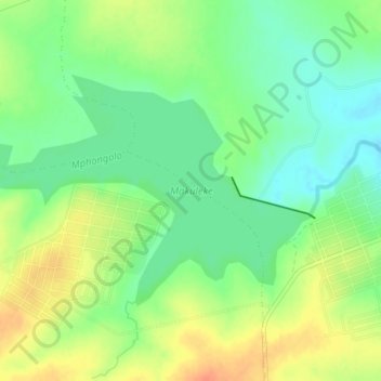
Naam: Topografische kaart Makuleke, hoogte, reliëf.
Gemiddelde hoogte: 417 m
Minimale hoogte: 398 m
Maximale hoogte: 441 m
Andere topografische kaarten
Klik op een kaart om zijn topografie, zijn hoogte en zijn reliëf te bekijken.
Mutshindudi
RSA > Limpopo > Thulamela Local Municipality
Mutshindudi, Thulamela Local Municipality, Limpopo, RSA
Gemiddelde hoogte: 495 m
Vondo Dam
RSA > Limpopo > Thulamela Local Municipality
Vondo Dam, Thulamela Local Municipality, Limpopo, RSA
Gemiddelde hoogte: 908 m
Luvuvhu
RSA > Limpopo > Thulamela Local Municipality
Luvuvhu, Thulamela Local Municipality, Limpopo, RSA
Gemiddelde hoogte: 511 m