
Topografische kaart Caxambas Pass
Interactieve kaart
Klik op de kaart om de hoogte weer te geven.
Over deze kaart
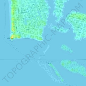
Naam: Topografische kaart Caxambas Pass, hoogte, reliëf.
Gemiddelde hoogte: 2 m
Minimale hoogte: -2 m
Maximale hoogte: 23 m
Andere topografische kaarten
Klik op een kaart om zijn topografie, zijn hoogte en zijn reliëf te bekijken.
Smokehouse Bay
United States > Florida > Collier County > Marco Island
Smokehouse Bay, Marco Island, Collier County, Florida, 34145, United States
Gemiddelde hoogte: 4 m
Key Marco
United States > Florida > Collier County > Marco Island
Key Marco, Marco Island, Collier County, Florida, 34140, United States
Gemiddelde hoogte: 1 m