
Topografische kaart Zone humide communautaire Saint-Genès-Champanelles
Interactieve kaart
Klik op de kaart om de hoogte weer te geven.
Over deze kaart
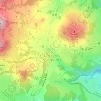
Naam: Topografische kaart Zone humide communautaire Saint-Genès-Champanelles, hoogte, reliëf.
Gemiddelde hoogte: 877 m
Minimale hoogte: 753 m
Maximale hoogte: 1.005 m