
Topografische kaart Mokala National Park
Interactieve kaart
Klik op de kaart om de hoogte weer te geven.
Over deze kaart
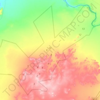
Naam: Topografische kaart Mokala National Park, hoogte, reliëf.
Gemiddelde hoogte: 1.169 m
Minimale hoogte: 1.042 m
Maximale hoogte: 1.311 m