
Topografische kaart Mount Sunflower
Interactieve kaart
Klik op de kaart om de hoogte weer te geven.
Mount Sunflower
Mount Sunflower, although not a true mountain, is the highest natural point in the U.S. state of Kansas. At 4,039 feet (1,231 m), it is 3,300 feet (1,010 m) above the state's topographic low point, which lies on the opposite side of the state. It is located between the communities of Kanorado and Weskan in Wallace County, less than half a mile (0.8 km) from the state border with Colorado and is close to the lowest point in Colorado.
Over deze kaart
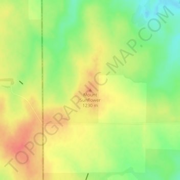
Naam: Topografische kaart Mount Sunflower, hoogte, reliëf.
Locatie: Mount Sunflower, Wallace County, Kansas, United States (39.02188 -102.03730 39.02198 -102.03720)
Gemiddelde hoogte: 1.215 m
Minimale hoogte: 1.186 m
Maximale hoogte: 1.239 m
Andere topografische kaarten
Klik op een kaart om zijn topografie, zijn hoogte en zijn reliëf te bekijken.