
Topografische kaart Kothagudem
Interactieve kaart
Klik op de kaart om de hoogte weer te geven.
Over deze kaart
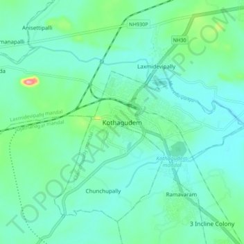
Naam: Topografische kaart Kothagudem, hoogte, reliëf.
Gemiddelde hoogte: 109 m
Minimale hoogte: 81 m
Maximale hoogte: 230 m
Kothagudem is located at 17°33′00″N 80°37′05″E / 17.55°N 80.618°E / 17.55; 80.618. It has an average elevation of 89 metres (295 ft) above sea level. The North of Kothagudem borders Chhattisgarh state which is approximately 120 km from the town.