
Topografische kaart Clipperton Island
Interactieve kaart
Klik op de kaart om de hoogte weer te geven.
Over deze kaart
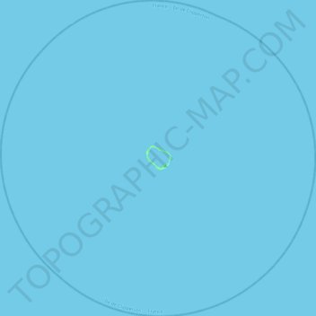
Naam: Topografische kaart Clipperton Island, hoogte, reliëf.
Locatie: Clipperton Island, France (10.08424 -109.43869 10.52031 -108.99709)
Gemiddelde hoogte: 0 m
Minimale hoogte: -1 m
Maximale hoogte: 6 m
It is low-lying and largely barren, with some scattered grasses and a few clumps of coconut palms (Cocos nucifera). Land elevations average 2 m (6.6 ft), though a small volcanic outcrop rising to 29 m (95 ft) on its south-east side is considerably higher and is referred to as "Clipperton Rock". The surrounding reef is exposed at low tide. The presence of this rock means that technically Clipperton is not an atoll but an island with a barrier reef.