
Topografische kaart Union County
Interactieve kaart
Klik op de kaart om de hoogte weer te geven.
Over deze kaart
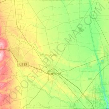
Naam: Topografische kaart Union County, hoogte, reliëf.
Locatie: Union County, Ohio, Estados Unidos de América (40.10696 -83.55133 40.50713 -83.16985)
Gemiddelde hoogte: 309 m
Minimale hoogte: 240 m
Maximale hoogte: 451 m