
Topografische kaart Stickleyville
Interactieve kaart
Klik op de kaart om de hoogte weer te geven.
Over deze kaart
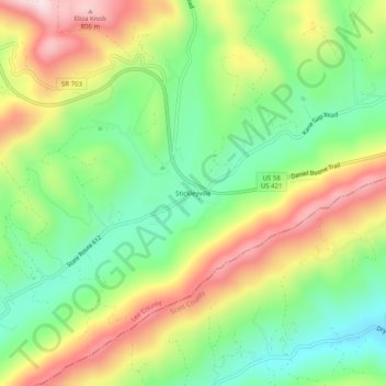
Naam: Topografische kaart Stickleyville, hoogte, reliëf.
Locatie: Stickleyville, Lee County, Virginia, United States (36.68704 -82.92711 36.72704 -82.88711)
Gemiddelde hoogte: 585 m
Minimale hoogte: 419 m
Maximale hoogte: 814 m