
Topografische kaart Oakley
Interactieve kaart
Klik op de kaart om de hoogte weer te geven.
Oakley
Oakley is located at 39°7′41″N 100°51′16″W / 39.12806°N 100.85444°W / 39.12806; -100.85444 (39.128023, -100.854490) at an elevation of 3,064 feet (934 m). It lies roughly 1 mile (1.6 km) south of the South Fork of the Saline River in the High Plains region of the Great Plains.
Over deze kaart
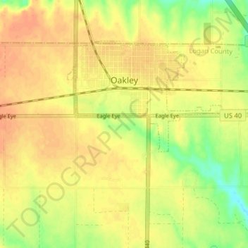
Naam: Topografische kaart Oakley, hoogte, reliëf.
Gemiddelde hoogte: 930 m
Minimale hoogte: 906 m
Maximale hoogte: 942 m