
Topografische kaart Collins
Interactieve kaart
Klik op de kaart om de hoogte weer te geven.
Over deze kaart
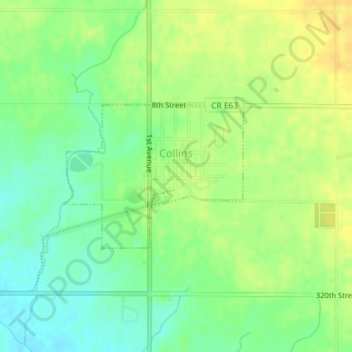
Naam: Topografische kaart Collins, hoogte, reliëf.
Locatie: Collins, Story County, Iowa, United States (41.89548 -93.31790 41.90651 -93.29939)
Gemiddelde hoogte: 305 m
Minimale hoogte: 290 m
Maximale hoogte: 319 m
Andere topografische kaarten
Klik op een kaart om zijn topografie, zijn hoogte en zijn reliëf te bekijken.
Slater
United States > Iowa > Story County
Slater, Story County, Iowa, 50244, United States
Gemiddelde hoogte: 316 m
Kelley
United States > Iowa > Story County
Kelley, Story County, Iowa, United States
Gemiddelde hoogte: 314 m
Ames
United States > Iowa > Story County
Ames, Story County, Iowa, United States
Gemiddelde hoogte: 295 m
Ames
United States > Iowa > Story County > Ames
Ames, Story County, Iowa, 50010, United States
Gemiddelde hoogte: 308 m
Story County
United States > Iowa > Story County
Story County, Iowa, United States
Gemiddelde hoogte: 308 m