
Topografische kaart Ballynabarney
Interactieve kaart
Klik op de kaart om de hoogte weer te geven.
Over deze kaart
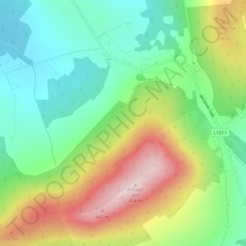
Naam: Topografische kaart Ballynabarney, hoogte, reliëf.
Gemiddelde hoogte: 241 m
Minimale hoogte: 108 m
Maximale hoogte: 454 m
Andere topografische kaarten
Klik op een kaart om zijn topografie, zijn hoogte en zijn reliëf te bekijken.
The Municipal District of Gorey — Kilmuckridge
The Municipal District of Gorey — Kilmuckridge, County Wexford, Leinster, Irland
Gemiddelde hoogte: 58 m