Topografische kaart Huntley Marsh
Interactieve kaart
Klik op de kaart om de hoogte weer te geven.
Over deze kaart
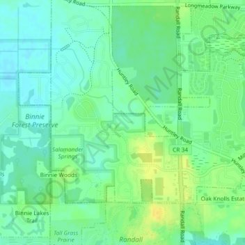
Naam: Topografische kaart Huntley Marsh, hoogte, reliëf.
Gemiddelde hoogte: 279 m
Minimale hoogte: 269 m
Maximale hoogte: 293 m

Klik op de kaart om de hoogte weer te geven.
Naam: Topografische kaart Huntley Marsh, hoogte, reliëf.
Gemiddelde hoogte: 279 m
Minimale hoogte: 269 m
Maximale hoogte: 293 m