
Topografische kaart Boron
Interactieve kaart
Klik op de kaart om de hoogte weer te geven.
Boron
Boron (formerly Amargo, Baker, Borate, and Kern)[4] is a census-designated place (CDP) in Kern County, California, United States. Boron is 15 miles (24 km) southwest of Red Rock Mountain at an elevation of 2,467 feet (752 m).[4] The population was 2,086 at the 2020 census, up from 2,025 at the 2000 census. Boron is named after the element boron and is the site of the world's largest source of the boron compound boric acid.
Over deze kaart
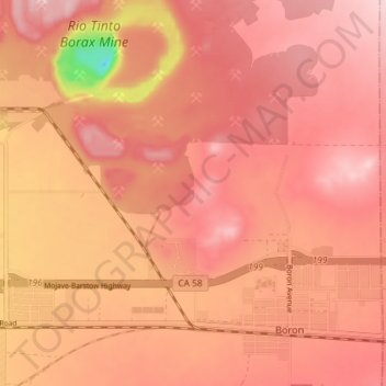
Naam: Topografische kaart Boron, hoogte, reliëf.
Locatie: Boron, Kern County, California, United States (34.99091 -117.70336 35.05041 -117.63242)
Gemiddelde hoogte: 753 m
Minimale hoogte: 583 m
Maximale hoogte: 812 m
Andere topografische kaarten
Klik op een kaart om zijn topografie, zijn hoogte en zijn reliëf te bekijken.