Topografische kaart Les Grands Prés
Interactieve kaart
Klik op de kaart om de hoogte weer te geven.
Over deze kaart
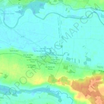
Naam: Topografische kaart Les Grands Prés, hoogte, reliëf.
Gemiddelde hoogte: 84 m
Minimale hoogte: 73 m
Maximale hoogte: 113 m

Klik op de kaart om de hoogte weer te geven.
Naam: Topografische kaart Les Grands Prés, hoogte, reliëf.
Gemiddelde hoogte: 84 m
Minimale hoogte: 73 m
Maximale hoogte: 113 m