
Topografische kaart Santo Tomas
Interactieve kaart
Klik op de kaart om de hoogte weer te geven.
Over deze kaart
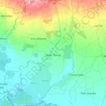
Naam: Topografische kaart Santo Tomas, hoogte, reliëf.
Locatie: Santo Tomas, Distrito Alanje, Chiriquí, Panama (8.32871 -82.69380 8.46539 -82.62211)
Gemiddelde hoogte: 39 m
Minimale hoogte: -1 m
Maximale hoogte: 148 m