
Topografische kaart Dena
Interactieve kaart
Klik op de kaart om de hoogte weer te geven.
Over deze kaart
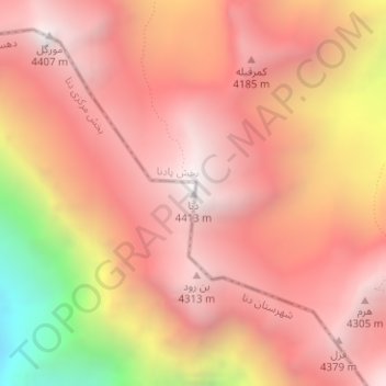
Naam: Topografische kaart Dena, hoogte, reliëf.
Gemiddelde hoogte: 3.896 m
Minimale hoogte: 2.746 m
Maximale hoogte: 4.415 m
Mount Dena has more than 40 peaks higher than 4,000 metres (13,000 feet). With an elevation of 4,409 metres above sea level, Qash-Mastan is the highest peak in the Dena Range and in the Zagros Mountains in general. Another known peak in this range is Hose-Daal close to the city of Sisakht, 30 km (19 mi) to the north of Yasuj.