

Topografische kaart Eastern Ghats
Klik op de kaart om de hoogte weer te geven.
Eastern Ghats
The Eastern Ghats is a mountain range that stretches 1,750 km (1,090 mi) along the eastern coast of the Indian peninsula. Covering an area of 75,000 km2 (29,000 sq mi), it traverses the states of Odisha, Telangana, Andhra Pradesh, Karnataka, and Tamil Nadu. The range forms a discontinuous chain of mountains along the eastern edge of the Deccan Plateau, stretching from north of the Mahanadi River in Odisha to Vaigai River in Tamil Nadu at the southern end of the Indian peninsula. The Eastern Ghats meet with the Western Ghats at Nilgiris. The average elevation is around 600 m (2,000 ft) and Arma Konda is the highest peak in the mountains at 1,680 m (5,510 ft).
Over deze kaart
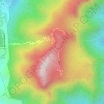
Naam: Topografische kaart Eastern Ghats, hoogte, reliëf.
Locatie: Eastern Ghats, Burakhat, Ramagiri, Gajapati, Odisha, India (18.97015 84.36691 18.97025 84.36701)
Gemiddelde hoogte: 1.130 m
Minimale hoogte: 777 m
Maximale hoogte: 1.494 m