
Topografische kaart Terrell
Interactieve kaart
Klik op de kaart om de hoogte weer te geven.
Over deze kaart
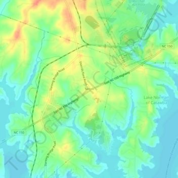
Naam: Topografische kaart Terrell, hoogte, reliëf.
Gemiddelde hoogte: 247 m
Minimale hoogte: 230 m
Maximale hoogte: 275 m
Terrell is located at 35°35′20.72″N 80°58′39.5″W / 35.5890889°N 80.977639°W / 35.5890889; -80.977639 within area code 828, ZIP code 28682, and FIPS place code 67180. It sits at an elevation of 289 m (948 ft).