
Topografische kaart Maluti-a-Phofung Ward 27
Interactieve kaart
Klik op de kaart om de hoogte weer te geven.
Over deze kaart
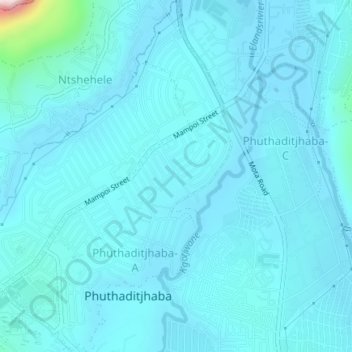
Naam: Topografische kaart Maluti-a-Phofung Ward 27, hoogte, reliëf.
Gemiddelde hoogte: 1.670 m
Minimale hoogte: 1.634 m
Maximale hoogte: 2.105 m
Andere topografische kaarten
Klik op een kaart om zijn topografie, zijn hoogte en zijn reliëf te bekijken.
Sterkfontein Dam Nature Reserve
RSA > Free State > Maluti-a-Phofung Local Municipality
Sterkfontein Dam Nature Reserve, Blesbuck, Maluti-a-Phofung Ward 6, Maluti-a-Phofung Local Municipality, Thabo Mofutsanyana District Municipality, Free State, RSA
Gemiddelde hoogte: 1.766 m
Maluti-a-Phofung Ward 20
RSA > Free State > Maluti-a-Phofung Local Municipality
Maluti-a-Phofung Ward 20, Maluti-a-Phofung Local Municipality, Thabo Mofutsanyana District Municipality, Free State, RSA
Gemiddelde hoogte: 2.228 m