
Topografische kaart Davis
Interactieve kaart
Klik op de kaart om de hoogte weer te geven.
Over deze kaart
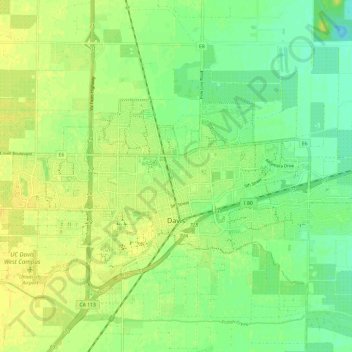
Naam: Topografische kaart Davis, hoogte, reliëf.
Locatie: Davis, Yolo County, California, United States of America (38.53489 -121.79407 38.57559 -121.67550)
Gemiddelde hoogte: 14 m
Minimale hoogte: 3 m
Maximale hoogte: 23 m
Davis lies in the Sacramento Valley, the northern portion of the Central Valley, in Northern California, at an elevation of about 52 feet (16 m) above sea level.