
Topografische kaart Köpflplatte - La Lasta
Interactieve kaart
Klik op de kaart om de hoogte weer te geven.
Over deze kaart
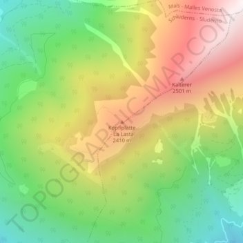
Naam: Topografische kaart Köpflplatte - La Lasta, hoogte, reliëf.
Gemiddelde hoogte: 2.054 m
Minimale hoogte: 1.457 m
Maximale hoogte: 2.782 m