
Topografische kaart Fondachelli-Fantina
Interactieve kaart
Klik op de kaart om de hoogte weer te geven.
Over deze kaart
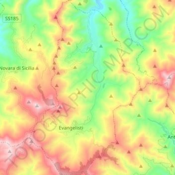
Naam: Topografische kaart Fondachelli-Fantina, hoogte, reliëf.
Locatie: Fondachelli-Fantina, Messina, Sicilia, Italia (37.95585 15.14122 38.05414 15.22067)
Gemiddelde hoogte: 719 m
Minimale hoogte: 261 m
Maximale hoogte: 1.302 m