
Topografische kaart Boca Raton
Interactieve kaart
Klik op de kaart om de hoogte weer te geven.
Over deze kaart
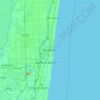
Naam: Topografische kaart Boca Raton, hoogte, reliëf.
Locatie: Boca Raton, Palm Beach County, Florida, 33432, United States (26.19869 -80.24310 26.51869 -79.92310)
Gemiddelde hoogte: 4 m
Minimale hoogte: -1 m
Maximale hoogte: 44 m
Andere topografische kaarten
Klik op een kaart om zijn topografie, zijn hoogte en zijn reliëf te bekijken.
Harbor East
United States > Florida > Palm Beach County > Boca Raton
Harbor East, Boca Raton, Palm Beach County, Florida, 33431, United States
Gemiddelde hoogte: 4 m
Royal Oak Hills
United States > Florida > Palm Beach County > Boca Raton
Royal Oak Hills, Boca Raton, Palm Beach County, Florida, 33432, United States
Gemiddelde hoogte: 7 m
Caribbean Key
United States > Florida > Palm Beach County > Boca Raton > Caribbean Key
Caribbean Key, Boca Raton, Palm Beach County, Florida, 33487, United States
Gemiddelde hoogte: 5 m
Paradise Palms
United States > Florida > Palm Beach County > Boca Raton
Paradise Palms, Boca Raton, Palm Beach County, Florida, 33486, United States
Gemiddelde hoogte: 8 m