
Topografische kaart Sand Springs
Interactieve kaart
Klik op de kaart om de hoogte weer te geven.
Over deze kaart
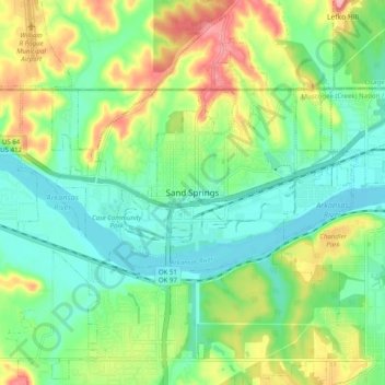
Naam: Topografische kaart Sand Springs, hoogte, reliëf.
Locatie: Sand Springs, Tulsa County, Oklahoma, 74063, United States (36.09943 -96.15000 36.17943 -96.07000)
Gemiddelde hoogte: 230 m
Minimale hoogte: 187 m
Maximale hoogte: 311 m