
Topografische kaart Black Canyon
Interactieve kaart
Klik op de kaart om de hoogte weer te geven.
Over deze kaart
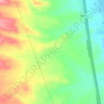
Naam: Topografische kaart Black Canyon, hoogte, reliëf.
Gemiddelde hoogte: 1.453 m
Minimale hoogte: 1.398 m
Maximale hoogte: 1.522 m
Andere topografische kaarten
Klik op een kaart om zijn topografie, zijn hoogte en zijn reliëf te bekijken.
Alamogordo
United States of America > New Mexico > Alamogordo
Alamogordo, Otero County, New Mexico, United States of America
Gemiddelde hoogte: 1.515 m
Glorieta
United States of America > New Mexico > Glorieta
Glorieta, Santa Fe County, New Mexico, 87535, United States of America
Gemiddelde hoogte: 2.313 m
Gallup
United States of America > New Mexico > Gallup
Gallup, McKinley County, New Mexico, United States of America
Gemiddelde hoogte: 2.067 m
Seton Village
United States of America > New Mexico > Seton Village
Seton Village, Santa Fe County, New Mexico, United States of America
Gemiddelde hoogte: 2.140 m