
Topografische kaart Lincolnton
Interactieve kaart
Klik op de kaart om de hoogte weer te geven.
Over deze kaart
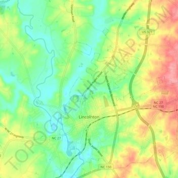
Naam: Topografische kaart Lincolnton, hoogte, reliëf.
Locatie: Lincolnton, Lincoln County, North Carolina, 28092, USA (35.44718 -81.28405 35.52432 -81.20310)
Gemiddelde hoogte: 260 m
Minimale hoogte: 223 m
Maximale hoogte: 313 m