
Topografische kaart Stanton on the Wolds
Interactieve kaart
Klik op de kaart om de hoogte weer te geven.
Over deze kaart
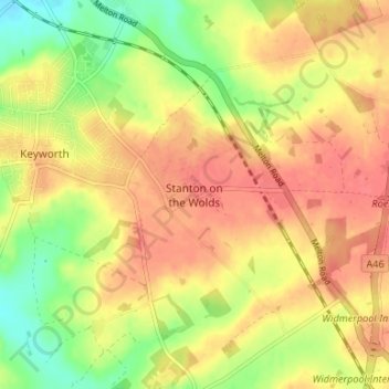
Naam: Topografische kaart Stanton on the Wolds, hoogte, reliëf.
Gemiddelde hoogte: 78 m
Minimale hoogte: 44 m
Maximale hoogte: 100 m