
Topografische kaart National Park "Samarskaya Luka"
Interactieve kaart
Klik op de kaart om de hoogte weer te geven.
Over deze kaart
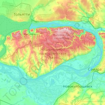
Naam: Topografische kaart National Park "Samarskaya Luka", hoogte, reliëf.
Gemiddelde hoogte: 102 m
Minimale hoogte: 24 m
Maximale hoogte: 375 m