
Topografische kaart Bhachau (M)
Interactieve kaart
Klik op de kaart om de hoogte weer te geven.
Over deze kaart
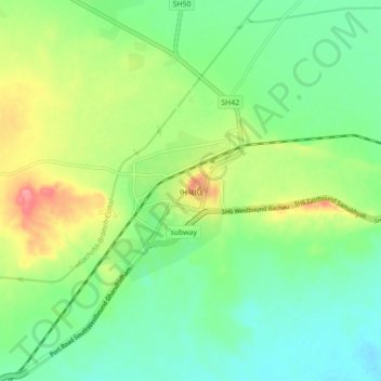
Naam: Topografische kaart Bhachau (M), hoogte, reliëf.
Gemiddelde hoogte: 35 m
Minimale hoogte: 7 m
Maximale hoogte: 88 m
Bhachau is located at 23°17′N 70°21′E / 23.28°N 70.35°E / 23.28; 70.35. It has an average elevation of 41 metres (134 feet).