

Topografische kaart Shalford
Klik op de kaart om de hoogte weer te geven.
Shalford
Lt.Col. Henry Haversham Godwin-Austen (1834–1923), topographer, geologist, naturalist and explorer who surveyed the Himalayan region, including K2, sometimes known as Mt. Godwin-Austen, for a time had an estate in Shalford.
Over deze kaart
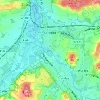
Naam: Topografische kaart Shalford, hoogte, reliëf.
Locatie: Shalford, Guildford, Surrey, England, United Kingdom (51.18812 -0.59372 51.22270 -0.53158)
Gemiddelde hoogte: 54 m
Minimale hoogte: 28 m
Maximale hoogte: 132 m