
Topografische kaart Le Blanc
Interactieve kaart
Klik op de kaart om de hoogte weer te geven.
Over deze kaart
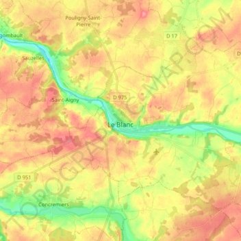
Naam: Topografische kaart Le Blanc, hoogte, reliëf.
Locatie: Le Blanc, Indre, Centro, França metropolitana, 36300, França (46.59461 1.01520 46.67557 1.17595)
Gemiddelde hoogte: 111 m
Minimale hoogte: 69 m
Maximale hoogte: 145 m