

Topografische kaart Arrah
Klik op de kaart om de hoogte weer te geven.
Arrah
Arrah is located at the elevation of 192 m from the sea level at the bank of Son river, Ganga River and Gangi River. Arrah lies at the confluence of the Ganga and the Son River, other small rivers that flow in the town are Gangi River, Badki Nadi and Chhotki Nadi.
Over deze kaart
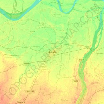
Naam: Topografische kaart Arrah, hoogte, reliëf.
Locatie: Arrah, Bhojpur, Bihar, 802300, India (25.40032 84.50321 25.72032 84.82321)
Gemiddelde hoogte: 59 m
Minimale hoogte: 43 m
Maximale hoogte: 73 m