
Topografische kaart Jezzine
Interactieve kaart
Klik op de kaart om de hoogte weer te geven.
Jezzine
Jezzine (Arabic: جزين Jizzīn) is a town in Lebanon, located 22 km (14 mi) from Sidon and 40 km (25 mi) south of Beirut. It is the capital of Jezzine District. Surrounded by mountain peaks, pine forests (like the Bkassine Pine Forest), and at an average altitude of 950 m (3,117 ft), it is the main summer resort and tourist destination of South Lebanon. The town is also well-known in Lebanon for its production of handmade, traditional cutlery and daggers with decorative inlays, artisanal wine, and the shrine of Our Lady of the Waterfall.
Over deze kaart
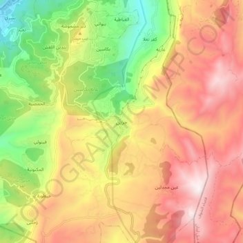
Naam: Topografische kaart Jezzine, hoogte, reliëf.
Locatie: Jezzine, Jezzine District, South Governorate, 1623, Lebanon (33.50393 35.54439 33.58393 35.62439)
Gemiddelde hoogte: 1.072 m
Minimale hoogte: 393 m
Maximale hoogte: 1.688 m
Andere topografische kaarten
Klik op een kaart om zijn topografie, zijn hoogte en zijn reliëf te bekijken.