
Topografische kaart Botijas
Interactieve kaart
Klik op de kaart om de hoogte weer te geven.
Over deze kaart
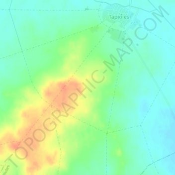
Naam: Topografische kaart Botijas, hoogte, reliëf.
Locatie: Botijas, Tapioles, Zamora, Castile and León, 49129, Spain (41.83603 -5.51268 41.85603 -5.49268)
Gemiddelde hoogte: 697 m
Minimale hoogte: 681 m
Maximale hoogte: 722 m