
Topografische kaart Chantepie
Interactieve kaart
Klik op de kaart om de hoogte weer te geven.
Over deze kaart
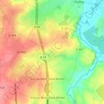
Naam: Topografische kaart Chantepie, hoogte, reliëf.
Gemiddelde hoogte: 47 m
Minimale hoogte: 7 m
Maximale hoogte: 85 m
Andere topografische kaarten
Klik op een kaart om zijn topografie, zijn hoogte en zijn reliëf te bekijken.
La Faucherie
France > Normandie > Manche > Poilley
La Faucherie, Poilley, Avranches, Manche, Normandie, France métropolitaine, 50220, France
Gemiddelde hoogte: 32 m