
Topografische kaart chatra
Interactieve kaart
Klik op de kaart om de hoogte weer te geven.
Over deze kaart
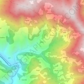
Naam: Topografische kaart chatra, hoogte, reliëf.
Locatie: chatra, Bhaderwah, Doda District, Jammu and Kashmir, India (33.03923 75.64912 33.07923 75.68912)
Gemiddelde hoogte: 1.837 m
Minimale hoogte: 1.278 m
Maximale hoogte: 2.333 m