
Topografische kaart Saint-Louis-de-Masham
Interactieve kaart
Klik op de kaart om de hoogte weer te geven.
Over deze kaart
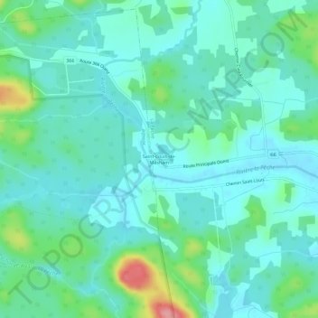
Naam: Topografische kaart Saint-Louis-de-Masham, hoogte, reliëf.
Gemiddelde hoogte: 186 m
Minimale hoogte: 162 m
Maximale hoogte: 273 m