

Topografische kaart Pontito
Klik op de kaart om de hoogte weer te geven.
Pontito
It is one of the localities called Dieci castella (Ten castles) of the Valleriana area, otherwise called Svizzera Pesciatina [it] ("Switzerland of Pescia"). It is located in the northernmost part of the Valleriana area. Pontito is an ancient village with its old stone houses in an almost total solitude, perched on a hill of 745 meters above sea level. The village is famous for is bell shape, obtained in accordance with the characteristics of the hill on which it has arisen. The bell shape widens as the altitude diminishes. In all likelihood the origins of the village are early medieval, making it one of the oldest and most iconic villages of the area.
Over deze kaart
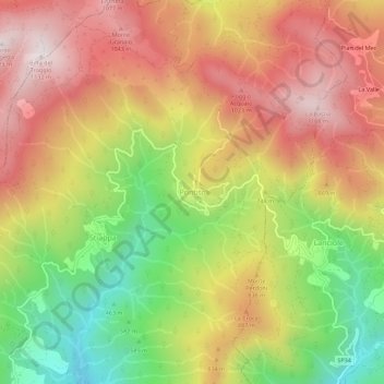
Naam: Topografische kaart Pontito, hoogte, reliëf.
Locatie: Pontito, Pescia, Pistoia, Tuscany, 51017, Italy (43.97762 10.70289 44.01762 10.74289)
Gemiddelde hoogte: 756 m
Minimale hoogte: 341 m
Maximale hoogte: 1.114 m