
Topografische kaart Rothaurach
Klik op de kaart om de hoogte weer te geven.
Over deze kaart
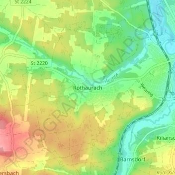
Naam: Topografische kaart Rothaurach, hoogte, reliëf.
Locatie: Rothaurach, Roth, Landkreis Roth, Bayern, 91186, Deutschland (49.21945 11.03431 49.25945 11.07431)
Gemiddelde hoogte: 365 m
Minimale hoogte: 324 m
Maximale hoogte: 421 m