
Topografische kaart Filisur
Interactieve kaart
Klik op de kaart om de hoogte weer te geven.
Over deze kaart
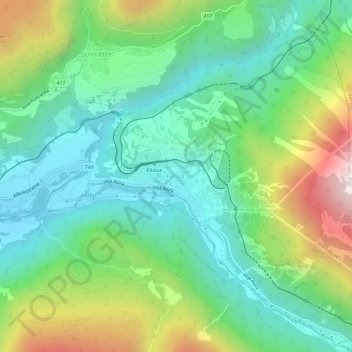
Naam: Topografische kaart Filisur, hoogte, reliëf.
Locatie: Filisur, Bergün Filisur, Albula, Grisons, 7477, Switzerland (46.65378 9.66597 46.69378 9.70597)
Gemiddelde hoogte: 1.319 m
Minimale hoogte: 949 m
Maximale hoogte: 2.137 m
Before 2017, the municipality was located in the Bergün subdistrict of the Albula district, since 2017 it is part of the Albula Region. It consists of the village of Filisur and the hamlet of Jenisberg at an elevation of 1,504 m (4,934 ft).