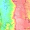
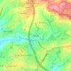
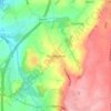
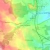
Topografische kaart Glapwell
Klik op de kaart om de hoogte weer te geven.
Glapwell
Glapwell is a rural village and civil parish on the A617 road in the Bolsover District of north-east Derbyshire, The village is at the top of a steep hill at an elevation of 176m, on the western edge of the Southern Magnesian Limestone] overlooking the valley of the River Doe Lea (formerly known as the Dorley). It lies between Chesterfield (7 miles to the north-west), Mansfield (5 miles to the south), and Bolsover (3 miles to the north), and had a population of 1,503 at the 2011 Census.
Over deze kaart

Naam: Topografische kaart Glapwell, hoogte, reliëf.
Locatie: Glapwell, Bolsover, Derbyshire, England, United Kingdom (53.18360 -1.30299 53.19947 -1.26816)
Gemiddelde hoogte: 156 m
Minimale hoogte: 79 m
Maximale hoogte: 184 m
Andere topografische kaarten
Klik op een kaart om zijn topografie, zijn hoogte en zijn reliëf te bekijken.
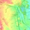
Creswell Model Village
United Kingdom > England > Derbyshire > Bolsover > Creswell Model Village
Gemiddelde hoogte: 101 m